I am looking for: Learn arrow down
I am looking for:
Categories
Categories
A Theoretical Analysis of Race and Ethnicity
In the interactive object, learners examine the structural-functional, social-conflict, and symbolic interaction analyses of race and ethnicity. Learners also answer multiple-choice questions.
By Deb DeRosso
Materials for Bloodstain Pattern Mapping, Preservation & Documentation (Screencast)
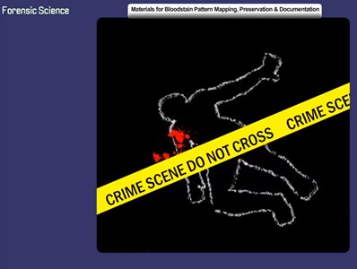
This learning object describes the equipment and supplies needed to document bloodstain patterns.
Coastal West and Central Africa
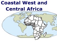
Students read about the countries of West and Central Africa and identify them on a map.
The Social-Conflict Theoretical Approach
Learners view a mind map of the social-conflict Approaches and answer questions about the inequalities, competition, and power found in social structures.
By Deb DeRosso
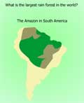
The Amazon Rain Forest
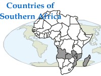
Countries of Southern Africa
Where Is Japan?
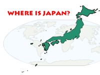
Students read about Japan and test their knowledge by answering questions. They also locate Japan's major islands and the bordering countries on a map.
Religions of the World - Judaism
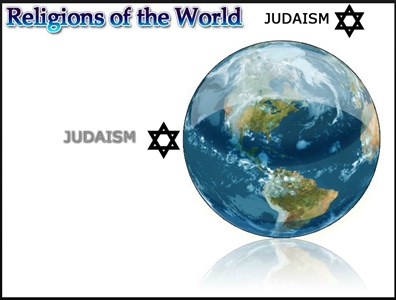
In this learning activity you'll use a map to identify the 10 countries with the largest populations of Jewish people.
Central America
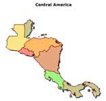
In this learning activity you'll locate the countries of Central America on a map.
Benelux
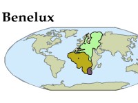
Students read about Benelux, the three countries in Europe that work together as an economic unit. Students test their knowledge by identifying the countries on a map.
Danube River
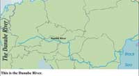
Learners follow the route of the Danube River as it flows through Europe. A map exercise completes this activity.
An Introduction to Wittman Regional Airport
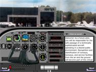
This animated guide presents an FAA map and aerial photos showing various areas of interest to student pilots enrolled in flight training at FVTC Aviation at Wittman Regional Airport in Oshkosh, WI. The airport is the site of the annual Experimental Aircraft Association's AirVenture Oshkosh. This object has sound.
Capital Cities of Central America
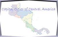
Learners review the names of the capital cities of the seven Central American countries and locate the cities on a map.
Countries of the Middle East
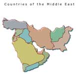
Students locate the countries of the Middle East on a map in this interactive exercise.
Southeast Asia
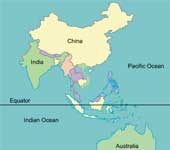
Learners read about the 10 countries in the region between India and China. A map exercise completes the activity.
Where Is Russia?
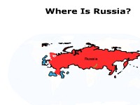
Students read important facts about Russia and locate cities and bodies of water on a map. They then take a brief quiz.
Recognizing Water Forms in North and Central America
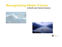
Learners read the definitions of various water forms and locate the bodies of water on a map.
South Africa and Its Neighbors
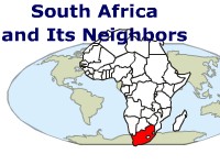
Students read about South Africa and the countries that surround it. They test their knowledge in a map exercise.
A Theoretical Analysis of Gender Stratification
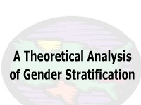
In this interactive object, learners examine a mind map of gender stratification. Quiz questions complete the activity.
By Deb DeRosso
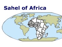
Sahel of Africa
Students locate the seven countries in the Sahel region, which is between the Sahara and the coastal rain forests. They identify the famous city of Timbuktu in a map exercise.